
Trace a Twentynine Palms Street
A street-by-street search should move from the physical place to the records that use a stable parcel key. The Twentynine Palms GeoViewer accepts a street address or APN. County Parcel Access also supports APN, situs address, and owner-name methods. Use the map to select the right polygon, save the APN, and note whether the displayed owner lead and mailing address differ from the situs.
That first pass gives the street-by-street search a clean starting point. The Recorder cannot search ownership by street address, so an address must become a name or document number before the deed index can help. Historical directories, census pages, and newspapers can add known occupants for a date, but they do not turn a parcel into a current household roll.
- Enter the full address in the city GeoViewer and confirm the selected parcel, city boundary, or Sphere of Influence layer.
- Copy the APN, situs, legal subdivision, and assessed-owner lead from the parcel summary. Save the access date.
- Use the Assessor property-information page to compare parcel characteristics, assessment history, owner-transfer dates, and any available mailing detail.
- Search the assessed owner as grantee in the ARC Recorder index, then match the legal description before taking the grantor as the next lead.
- For older names, add the local newspapers, census through 1950, historical people files, and any verified directory image. Keep owner and listed occupant in separate columns.
This order is the working shape of an address trail. It keeps a map fact, a title-chain fact, and a person or household fact from being blended into one claim.
Search Twentynine Palms Streets in GeoViewer
The city's official map instructions give two useful search keys: the published address example 6136 Adobe Road and the APN example 0618-262-05. The map layers include roads, color aerial imagery, parcels, city and Sphere of Influence boundaries, land use and zoning, trails, flood, and seismic information. An address search should switch layers one at a time because each layer answers a different location question.
Use the road layer to orient the segment. Use the parcel layer to identify the lot. Use the city or Sphere of Influence layer to avoid assuming that a Twentynine Palms postal label is the same as incorporated city status. Zoning, flood, and seismic layers add site context, not the names of people at the address.
The official Twentynine Palms map instructions describe the address and APN examples and the available layers.
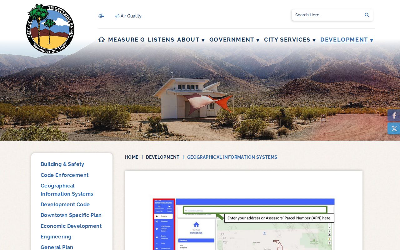
The map is the first address key. It does not display a complete list of occupants, and it should not be read as a people search.
Twentynine Palms Address to APN
County Parcel Access is the main bridge from a street directory to county property records. The official guide documents three search methods. An APN is usually the least ambiguous key, but a situs address helps when the parcel number is unknown. Owner-name mode is a lead and should be checked against the map and legal description.
| Parcel field | Type | Required | Format or use |
|---|---|---|---|
| Situs address | Text search | One search key | Physical location; confirm the selected polygon |
| APN | Text search | One search key | Tax-parcel identifier; preserve hyphens |
| Owner name | Name search | One search key | Assessment lead; verify against parcel and deed |
The parcel summary can expose APN, situs, ownership lead, parcel characteristics, assessed values, exemptions, and history. The county warns that assessment data is not a legal-title determination. It also suppresses protected bulk names and addresses under Government Code section 7928.205. A street directory should preserve that limitation alongside any owner field.
The Assessor Property Information guide is the source for the documented search methods.
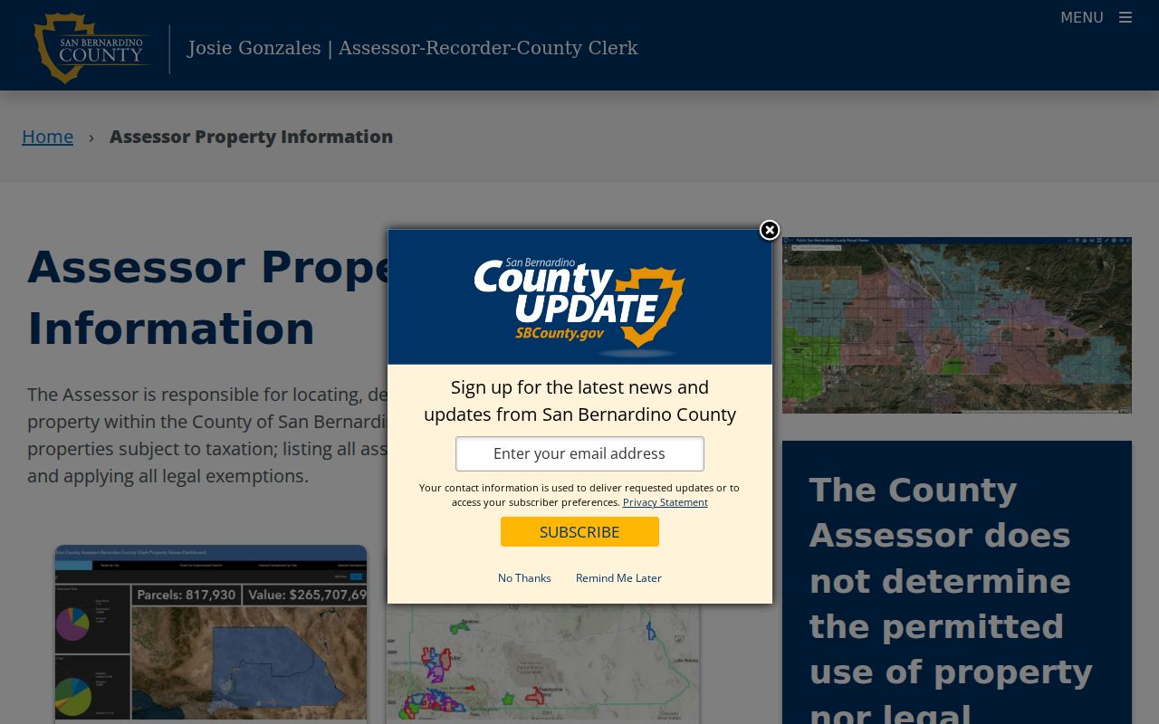
When a parcel has several possible names, APN and legal description are stronger anchors than a name alone.
Note: The assessor supplies a parcel and ownership lead, while the Recorder supplies the instrument trail that must be checked separately.
Twentynine Palms Situs and Mailing
Situs means the physical location of a parcel. A mailing address is where assessment correspondence goes. Legal description is the durable deed language, and APN is the tax-parcel identifier. The four fields may point to the same place, but they do not mean the same thing. A mailing and situs mismatch can suggest that correspondence goes elsewhere. It does not prove present occupancy or tell how many people use the address.
Twentynine Palms has a spread-out form shaped in part by 160-acre homesteads. Older material may describe roads, tracts, sections, or legal descriptions instead of modern street numbers. Search road-name variants and the three place spellings used by local collections. If a parcel falls near a city or installation boundary, save the layer that supports the jurisdiction conclusion.
- Parcel
- A mapped piece of land represented by a county tax identifier.
- Situs address
- The physical location assigned to the parcel, distinct from a mailing address.
- Plat
- A recorded or mapped drawing that describes lots, lines, roads, or subdivision relationships.
- Criss-cross directory
- A reverse-style directory organized by address or street rather than only by surname. No local run was verified for Twentynine Palms.
Twentynine Palms Records by Street
Address-keyed records form layers. The property roll identifies an assessed owner lead and parcel facts. The GIS map shows geometry and boundary context. The Recorder shows parties to deeds, trusts, liens, releases, maps, and notices when the name or document key is known. Municipal permit and code records can add dated work or city action. Historic directories and census pages can add listed occupants for a particular year.
| Record set | Keeper | What it shows | Access |
|---|---|---|---|
| Parcel and assessment roll | San Bernardino County Assessor | APN, parcel, assessed owner lead, values and characteristics | Free map and downloads |
| City or county GIS | Twentynine Palms and county map portals | Lots, roads, boundary, zoning and hazard layers | Free viewers |
| Deeds, liens and maps | County ARC Recorder | Named parties, document type, date and legal description | Free index; copies by order or office |
| Permits and code files | City departments or county jurisdiction | Dated municipal activity tied to an address or APN | CitizenServe or bounded request |
| Historic name sources | Historical Society, census and LOC | Listed people or households at a dated place | Collection-specific |
The APN is the chain key for the first three rows. A city permit can show an applicant or contractor, but that role is dated evidence of involvement. A directory entry can show a listed person, but a missing listing can reflect an unlisted number, a move, or a gap. The street directory becomes useful when every row is labeled with its record type and date.
Follow Twentynine Palms APNs into Deeds
After County Parcel Access supplies an APN and current owner lead, use the ARC chain-of-title method. Search the current owner as grantee. Match the legal description, not just the surname. Record the instrument number, document date, title, parties, and any book or page reference. Then take the grantor from the matched deed and search that person as an earlier grantee. Repeat until the searchable layer ends.
The county's detailed guide describes the online or office grantor and grantee work as 1958 to the present. Pre-1958 indexes are on decade microfilm at the main Recorder. The general official-record page advertises an index from 1925, so those two date statements should be preserved rather than collapsed. The Hall of Records in San Bernardino provides the fullest historical route, and Hesperia also provides official-record content inspection. Appointments are strongly encouraged.
The county property-research guide explains the deed-chain sequence.
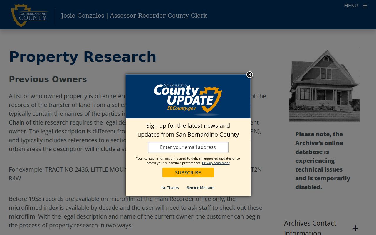
Use a title company or attorney when the task is legal or insurable title. A street directory history is a research chain, not a title opinion.
Twentynine Palms Map Book Codes
The county assessor map viewer supplies a second way to understand a parcel's paper geography. The published page format is BBBBPP, where the first four digits identify the book and the last two identify the page. The index format is BBBBiN, where the final number identifies an index entry. The guide's examples are 016723 for book 0167, page 23, and 0113i1 for the first index entry in book 0113.
Map books help a researcher browse a neighborhood or confirm lot relationships when a street name has changed or older sources use a legal description. They do not name residents. Move the resulting parcel reference back to the GIS map, Assessor record, and Recorder index. A map drawing can clarify where a lot sits without answering who occupied it.
The Assessor parcel map books are the source for the book and page formats.
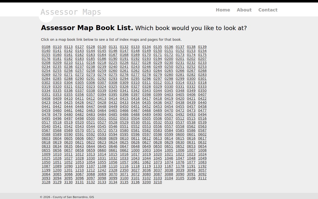
A page reference is a map key. Keep it beside the APN and legal description, not in place of them.
Note: Map-book notation helps locate a parcel drawing but does not convert a lot line into a resident name.
Walk Adjacent Twentynine Palms Parcels
The city map instructions support a simple block walk. Enter the target address or APN, turn on parcels and aerial imagery, and zoom until the road and lots are clear. Click the parcel to the left, right, opposite, and rear when those lots are visible. Record each APN and subdivision relationship before moving the identifiers into County Parcel Access.
There is no verified buffer or radius tool in the research. A visual neighbor walk is therefore a parcel adjacency method, not a claim about a social block. It is also distinct from a full named-street search. Once adjacent APNs are collected, the same assessor and Recorder cautions apply: ownership evidence is not a complete list of people at the address.
The immediate-block angle belongs on the Twentynine Palms neighbor lookup page, where adjacency and civic sources are kept separate from the full street chain.
Past Twentynine Palms Names
When the question is who was listed along a street in an earlier year, use a different shelf. The Historical Society holds Out Post from 1932 to 1934, nearly every issue of The Desert Trail from 1935 onward, selected 29 Palms News from 1960 to 1976, people vertical files, yearbooks, organizational records, oral histories, and photographs. The 1950 Library of Congress regional telephone image uses Twenty-Nine Palms and 29 Palms forms.
Search local spelling variants and record the exact road, locality, and date. Pair a listing with the 1950 census or a newspaper notice, but do not infer continuous residence from one issue. A city directory or historical source can enrich a street directory, while the current APN chain still answers the present parcel question.
Twentynine Palms Postal and City Boundaries
Postal geography and civil geography are not interchangeable. ZIP 92277 serves the principal community street and mail area. ZIP 92278 serves the Marine Corps Air Ground Combat Center. A postal city name, incorporated city limit, Sphere of Influence, military installation, and county parcel jurisdiction can describe different layers of the same broad desert setting.
Check the city and Sphere of Influence layers before calling a parcel a city property. If the address is near a boundary or has a military connection, note which office controls the record. A ZIP code is a useful filter for a property search, but it is not a resident directory and it is not proof of city residence.
Twentynine Palms Street Directory Limits
A street directory built from public property and instrument records will miss people who are not named in those records. Household members, temporary occupants, and people using protected addresses may not appear. California DMV information is protected by the Driver's Privacy Protection Act. Utility customer lists are not a public fallback. The county's protected-data suppression also limits bulk property details.
Use only records that are open for the stated purpose. Do not infer a person's presence from a mailing address, business filing, license address, cemetery result, jail result, or a same-name deed. If a person is protected through Safe at Home or confidential voter provisions, stop at the lawful boundary rather than trying to reconstruct the address from other sources.
Lawful use. Twentynine Palms address records can support personal history, civic research, and a careful property question. Using a street directory to stalk, harass, threaten, or intimidate anyone is unlawful.